Every small town has a story. We've mapped990of them.

Loading trip map…

Scenic Byways

Bow Valley Parkway:
Banff to Lake Louise

A slow 48-km Rockies drive past waterfalls, castle peaks, and wildlife corridors.

Most travellers between Banff and Lake Louise jam onto the Trans-Canada Highway and barely glance up. The Bow Valley Parkway — Highway 1A — is the slower lane right beside it, threading through pine forest, along the Bow River, and under limestone cliffs that look like castle walls. You’ll see more in 48 kilometres here than in three hours of freeway driving.

This is one of the best wildlife-viewing roads in the Canadian Rockies. Elk, bighorn sheep, black bears, and the occasional grizzly all use this corridor, which is why Parks Canada closes a stretch to vehicles each spring.

Take a full day, pull off often, hike Johnston Canyon, and finish with coffee at Lake Louise. You’ll understand why people keep coming back.

Day 1

→ 48 km 

🚗 7 km · 8 minutes west of Banff townsite
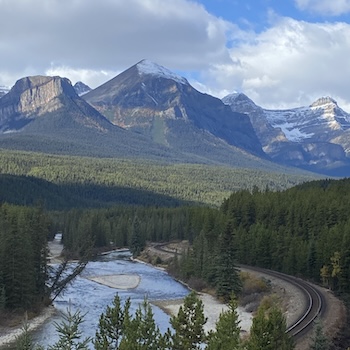
Scenic Drive · Outdoor

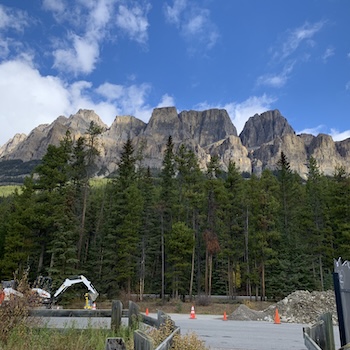
Bow Valley Parkway entrance (Highway 1A)

★ 5.0 Bow Valley Pkwy, Improvement District No. 9

Walk the harbour, browse the shops on James Street, and settle in. For dinner, try Legend Spirits Company — craft distillery and restaurant on the Seguin River with a deck overlooking the CPR trestle bridge. Friday evenings in summer, the Festival of the Sound has world-class chamber music.

Explore more →
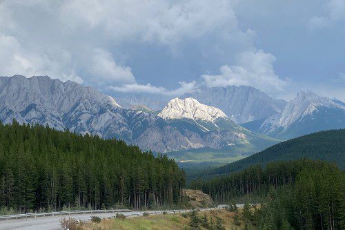
Highway 1A turnoff sign
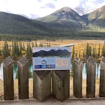
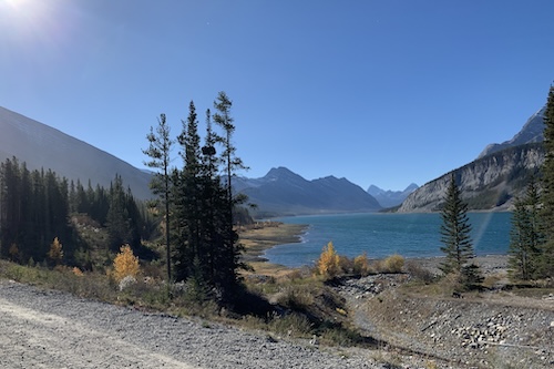
 Roadside pull-offs 
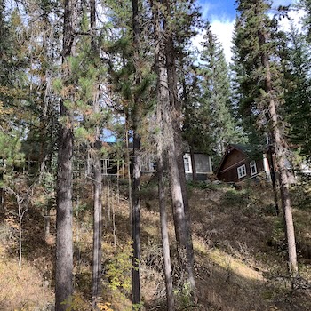
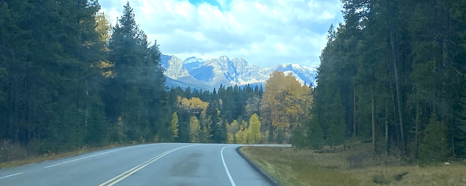
Parkway picnic areas
🚗 3 km · 5 minutes from the parkway start
Viewpoint · Wildlife · Outdoor

Backswamp Viewpoint

★ 5.0 Backswamp Viewpoint, Bow Valley Pkwy, Sawback

A short pull-off looking out over a quiet wetland fed by the Bow River. The Sawback Range stacks up behind the marsh, and on a still morning the reflection is mirror-sharp. With patience, you may spot Rocky Mountain bighorn sheep on the slopes — this stretch is part of their winter range.

Explore more →
Bow River wetland Sawback Range views Bighorn sheep habitat
🚗 2 km · 3 minutes from Backswamp
Picnic · Forest · Outdoor

Mule Shoe Lake

★ 5.0 Mule Shoe Lake, Improvement District No. 9

A horseshoe-shaped pond that was once a meander in the Bow River — until the river found a shortcut and left it behind. The picnic spot sits inside a rare montane forest of Douglas fir and trembling aspen. Quiet, shaded, and one of the prettiest places on the parkway to stop for lunch.

Explore more →
Muleshoe picnic area Montane forest Hoodoo Trail (across the road)
🚗 12 km · 15 minutes from Muleshoe
Hike · Waterfall · Outdoor

Johnston Canyon

★ 5.0 Bow Valley Pkwy, Improvement District No. 9

The headline stop. A catwalk trail clings to the canyon walls and follows Johnston Creek to the Lower Falls (1.2 km) and Upper Falls (2.4 km). Go early — the parking lot fills by 9 a.m. in summer. In winter, microspikes turn the frozen falls into one of the great walks in the Rockies.

Explore more →
Lower Falls catwalk Upper Falls Ink Pots (past Upper Falls)
🚗 0 km · At the Johnston Canyon trailhead — no extra drive
Stay · Heritage

Johnston Canyon Lodge & Bungalows

★ 5.0 AB-1A, Banff

Open May through October, this family-run lodge has welcomed guests since 1926. Forty-two heritage log cabins sit a short walk from the canyon. If you can spare a night, sleeping at the trailhead means walking into Johnston Canyon before the day-trippers from Banff arrive. Book months ahead.

Explore more →
Heritage log cabins On-site dining room Trailhead access
🚗 5 km · 6 minutes from Johnston Canyon
Viewpoint · Photo Spot

Castle Cliff

★ 5.0 Castle Cliff Viewpoint, Bow Valley Pkwy

Castle Mountain rises straight off the valley floor and earns its name. Layers of softer shale eroded faster than the limestone and quartzite above, leaving turrets and battlements along the ridge. The Castle Cliff pull-off is the easy way to take it in. The lookout hike (next stop) is the rewarding way.

Explore more →
Castle Mountain viewpoint Photo pull-off Roadside interpretive signs
🚗 2 km · 3 minutes from Castle Cliff
Viewpoint · Photo Spot

Storm Mountain Viewpoint

★ 5.0 AB-1A, Banff

A wide turnout looking south across the valley at Storm Mountain. The peak earned its name from the weather it pulls in — winds rising up its flanks build cloud, then drop rain and snow on the parkway below. On clear days the view down the valley is one of the best on the drive.

Explore more →
South-facing pull-off Storm Mountain view Cloud-watching spot
🚗 3 km · 5 minutes from Storm Mountain Viewpoint 
History · Memorial

Castle Mountain Internment Camp

★ 5.0 Bow Valley Pkwy, Castle Junction

A quiet roadside memorial marks the site of Canada’s largest internment camp in the Rockies, opened in 1915. Hundreds of immigrants — most of Ukrainian origin — were held here during the First World War under the War Measures Act. A sobering stop, and an important one if you want the parkway’s full story.

Explore more →
Trailhead parking Fire lookout site Castle Mountain cliffs
🚗 5 km · 7 minutes from the internment camp site 
Hike · Viewpoint · Outdoor

Castle Lookout Trailhead

★ 5.0 Castle Lookout Trail, Improvement District No. 9

A 7.2-kilometre out-and-back hike that climbs to the base of Castle Mountain’s cliffs and an old fire-lookout site. Allow about three hours round-trip. It’s steady uphill the whole way, but the panorama over the Bow Valley at the top is one of the best views you can earn on foot from the parkway.

Explore more →
Memorial statue Interpretive panels Roadside parking
🚗 9 km · 10 minutes from Castle Lookout
Picnic · Stay · Outdoor

Backer Creek

★ 5.0 Bow Valley Pkwy, Lake Louise

A small creek crossing with a quiet picnic area and a chalet-style lodge across the road. After the climbing and the history, this is the spot to stretch out, eat something, and listen to running water. From here, Lake Louise is only about 15 minutes farther on.

Explore more →
Creekside picnic spot Baker Creek Mountain Resort Last quiet pull-off before Lake Louise
🚗 8 km · 10 minutes from Baker Creek
Photo Spot · History · Railway

Morant’s Curve

★ 5.0 45 Highway 1A, Improvement District No. 9

Likely the most photographed railway curve in Canada. Nicholas Morant, a Canadian Pacific photographer, made this bend along the Bow River famous in the mid-20th century. Time it right and a freight train will rumble through with the peaks above Lake Louise behind it. From here it’s a short drive into Lake Louise to finish.

Explore more →
Trackside viewpoint Bow River bend Lake Louise peaks backdrop
Day 2 — Southbound

225 km 

Good to know

Best time

Mid-June to September for full access. Fall for golden larches, winter for frozen Johnston Canyon walks. A stretch closes to vehicles each spring for wildlife — check Parks Canada before you go.

Where to stay

Hotels and B&Bs in Banff or Lake Louise. Johnston Canyon Lodge & Bungalows on the parkway itself if you want to wake up at the trailhead.

Total driving

100 km round trip (48 km one way). Budget a full day with stops, even though the drive is only about an hour each direction.

Fuel & food

Fill up in Banff or Canmore — no gas stations on the parkway. Pack a picnic; only Johnston Canyon Lodge and Baker Creek Mountain Resort serve food, and both are seasonal.

More guides from this region

Municipalities & Tourism Organizations

Is your community along this route?

We feature small towns in our trip guides — with Google Ads, newsletters, and placement seen by thousands.

Who Are You?

Any changes to the place info will be reviewed by 1000 Towns of Canada.